01Wave mechanics
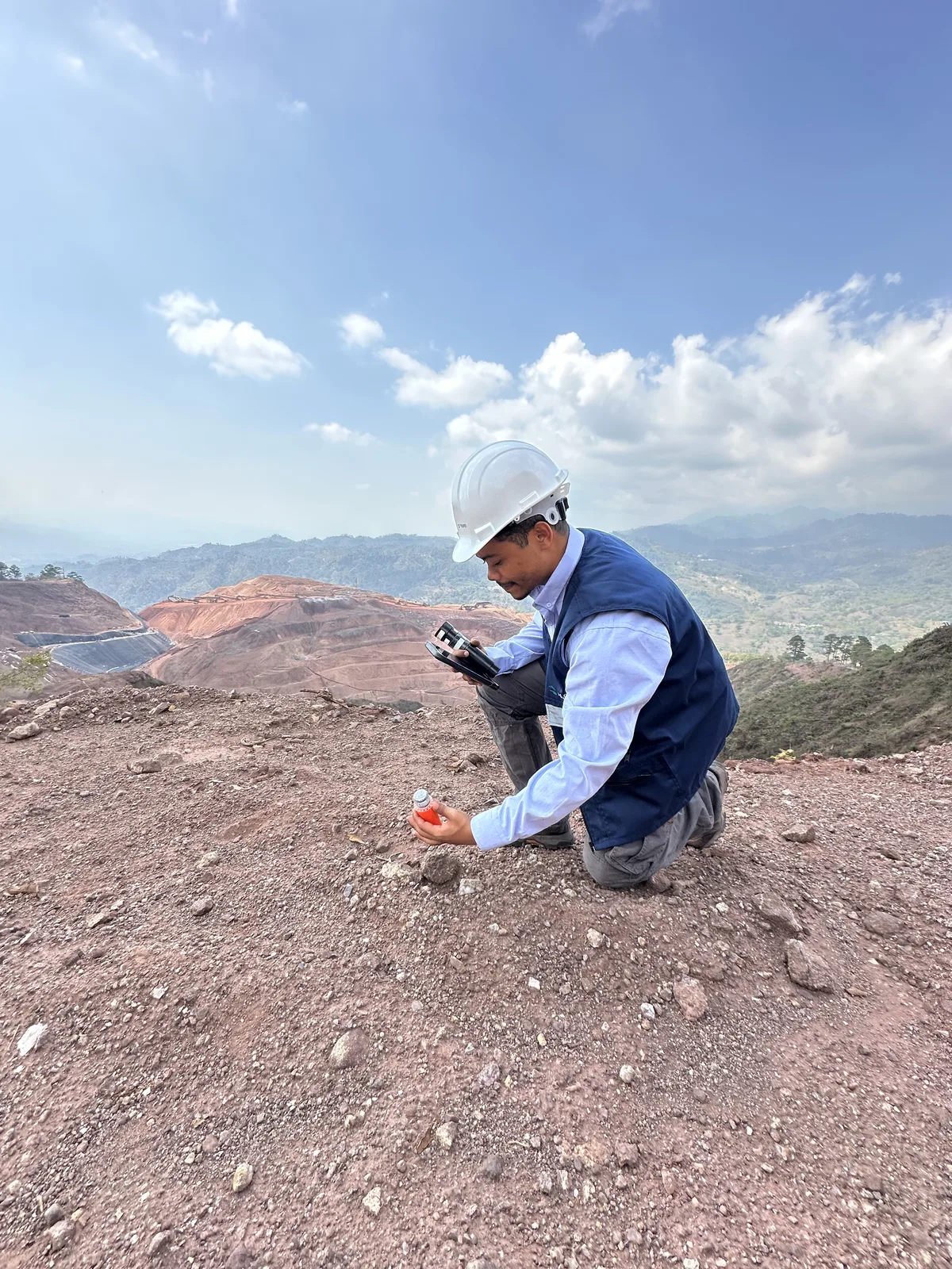
Exploration seismology
Map structure through motion.
Full-waveform inversion, ambient-noise tomography and seismic reflection.
We transform geophysical measurements into reliable subsurface insight for better decisions in your projects.
Explore our surveysMethods
Exploration seismology
Full-waveform inversion, ambient-noise tomography and seismic reflection.
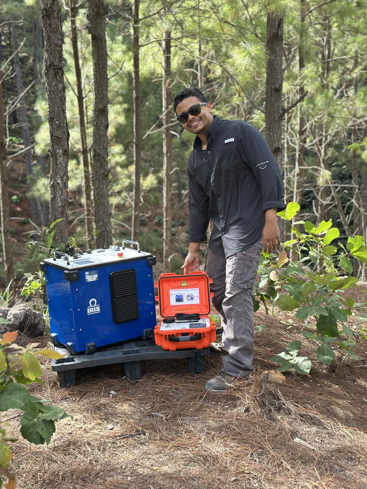
Electrical & field exploration
Resistivity and induced polarization, gravity and magnetic methods.
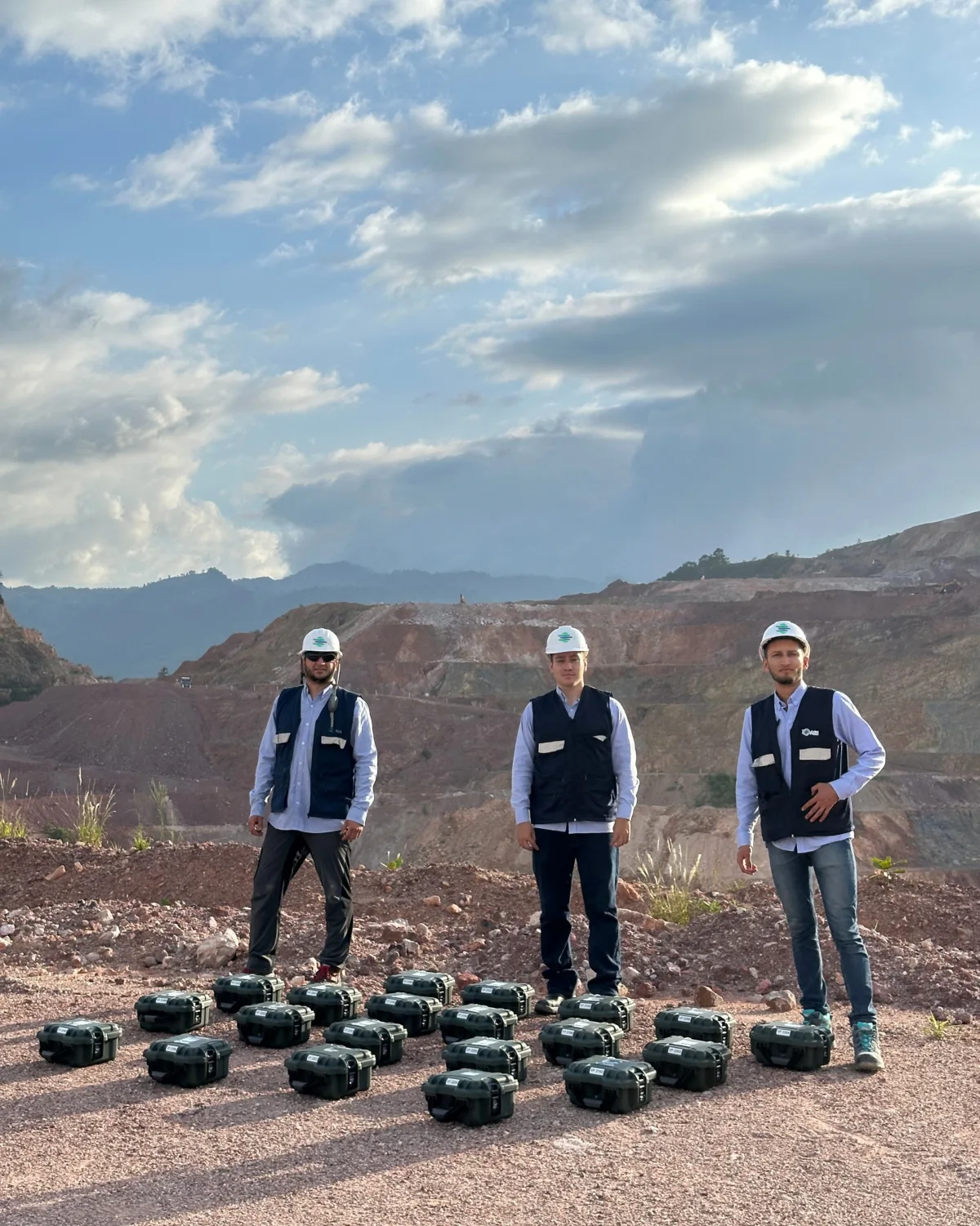
Geotechnical geophysics
Near-surface seismic: surface-wave FWI, MASW, refraction, H/V and GPR.
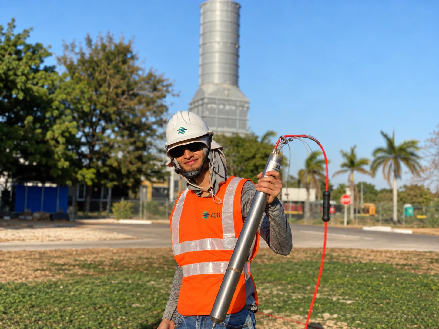
Borehole geophysics
Downhole, crosshole, resistivity, gamma, caliper and interwell tomography.
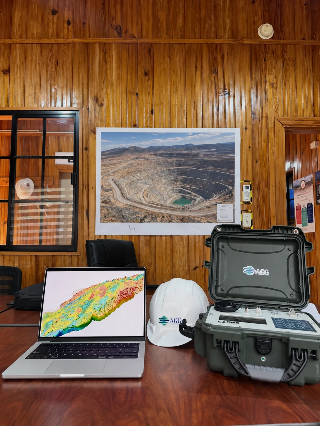
Advanced instrumentation
Specialized systems, custom integration and site-specific acquisition.
Drag or use the arrows to explore
One connected process
We begin with the geological question, then select the method, geometry and resolution the decision requires.
Calibrated instruments and rigorous field procedures produce repeatable, quality-controlled observations.
Processing, inversion and geological context transform data into useful 2D and 3D subsurface models.
Interactive models
A 1.2 km block of our 3-D induced-polarization inversion over a mineral deposit. Move the depth slice through the chargeability volume and compare it with the mineralized bodies intersected by the drilling.
Mineral exploration3-D IP chargeability · drag to orbit · double-click to reset
Start with the question